All projects
Project 01 — CobraSol
Ground-mounted solar,
Ground-mounted solar,
planned automatically.
A parametric tool turns surveyed terrain into a buildable solar park: from point cloud to survey-ready export.
ScopeParametric planning · CAD automation · Visualization
ToolsRhino · Grasshopper · Python
ClientCobraSol
FieldGround-mounted PV · Roßbach
Live render · Rhino / Grasshopper
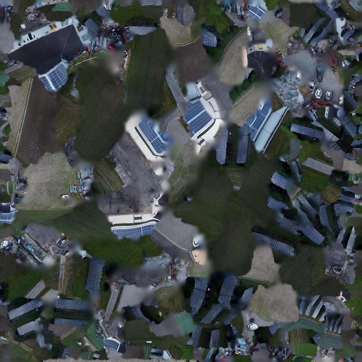
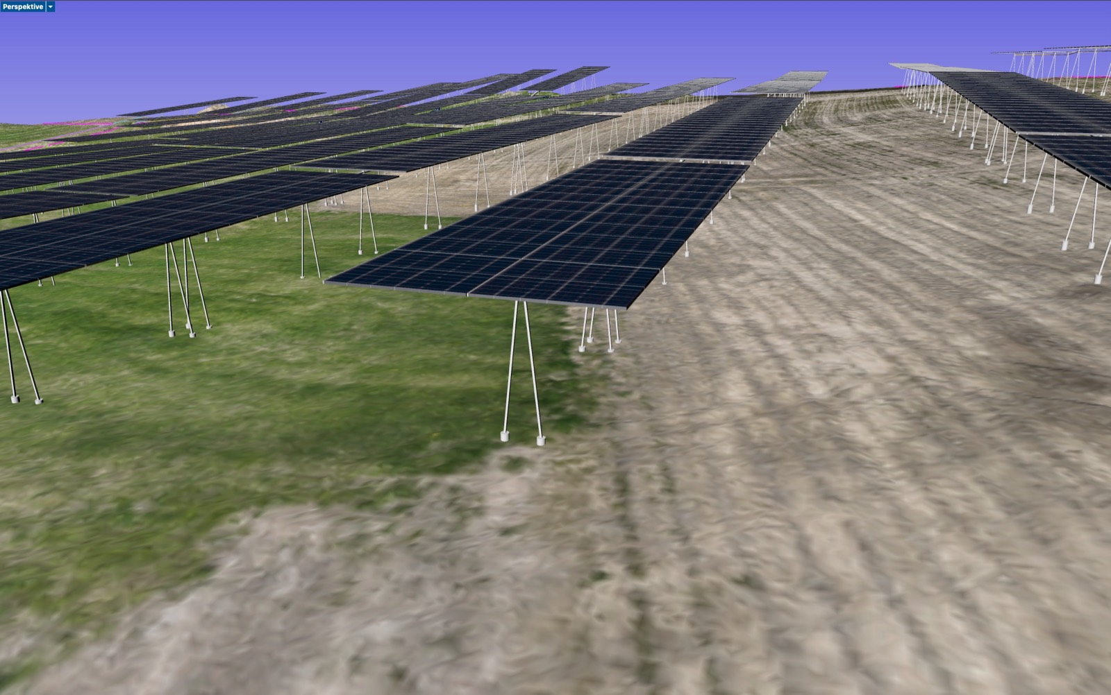
Planning stages · cross-fade
Solar parks rarely sit on a level meadow. The terrain undulates, slopes away, has hollows and crests. That is what makes planning laborious: every module row, every pile, every elevation has to match the real ground.
The idea
A parametric tool instead of hand-drawn variants: it reads in the terrain's survey data and generates the entire array as a model. Change the row spacing, module tilt or table positions and the model recalculates instantly.
What the tool can do
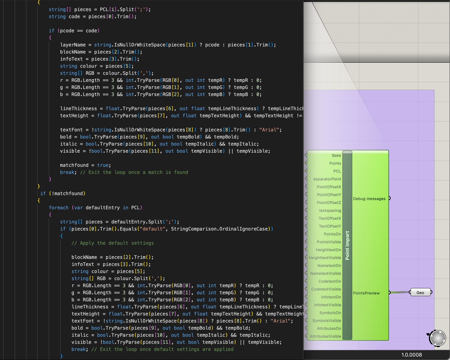
- Point cloud → buildable planSurvey data becomes the planning foundation directly.
- Rows & module tilt follow the real terrainThe model works with the real terrain, not a flat surface.
- Foundation & ramming-pile layoutPositions and elevations are derived automatically.
- Collision check of the drive shaftsTracker conflicts are detected before anything is built.
- Survey-ready point exportsTerrain & foundation surfaces, ready for the field.
The benefit
Planning variants can be compared quickly, the visualization helps in conversations with clients and authorities, and surveying gets exactly the data it works with out in the field.
Collision check · drive shafts
Tilt follows the terrain
Foundation layout